 ×
×
The Pixels to Points tool in Global Mapper Pro allows users to create photogrammetric point clouds from raster images, making it a versatile geographic data analysis package.
The free iOS and Android Global Mapper Mobile apps were made to function in tandem with Global Mapper Pro. It facilitates the transport of GIS data into the field for use as a reference and in collecting GNSS data.
With the subscription-based Pro Module, Global Mapper Mobile can be used in any business for surveying, photographing, and recording high-accuracy control points for processing drone-collected photos. Get to know more GNSS modules there.
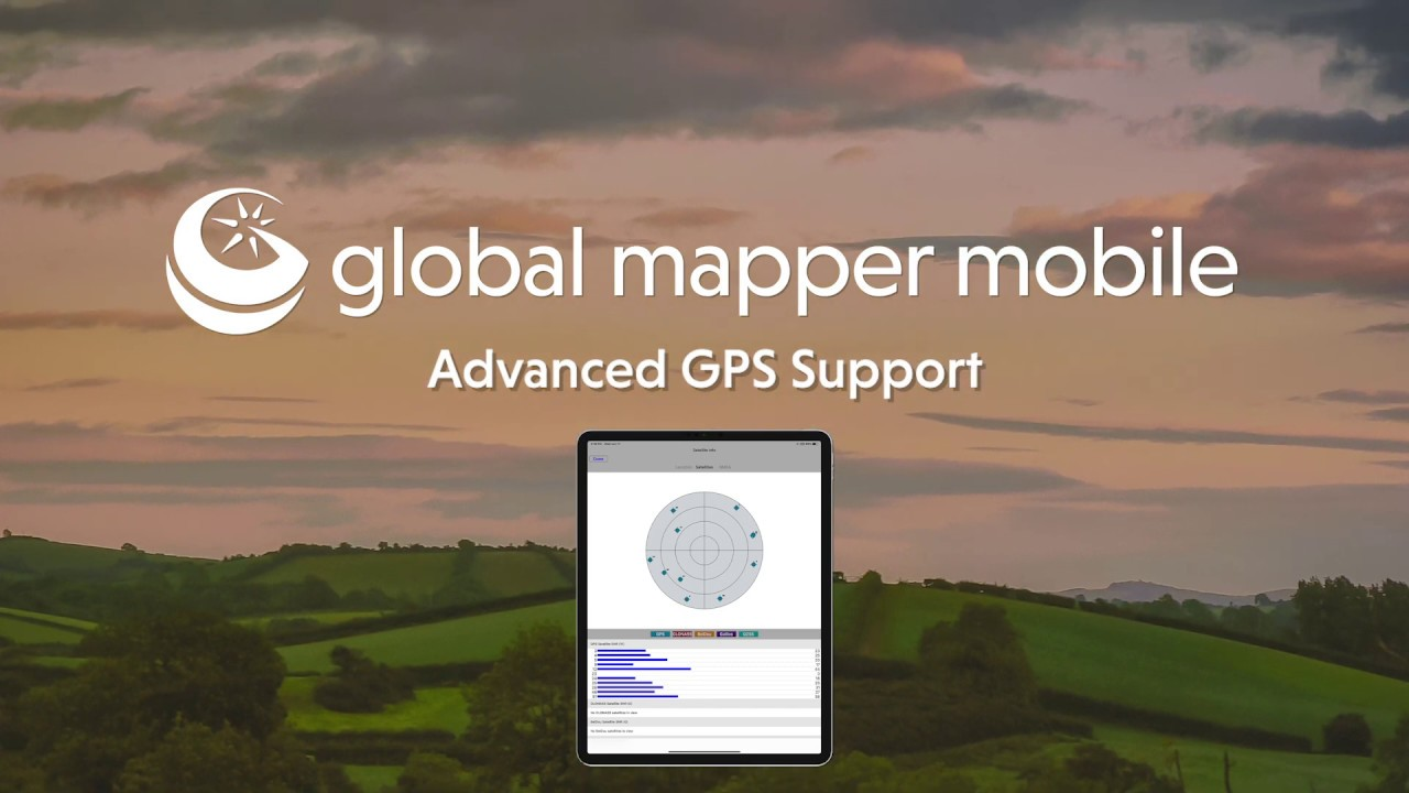
By default, Global Mapper Mobile allows users to collect photos and produce points, lines, and polygon features using the internal location services of an iOS or Android mobile device. In order to collect data with a higher degree of precision, GNSS Device for Global Mapper Mobile Pro Module can be added to the Advanced GPS capabilities.
Version 2.3 of the mobile software adds support for TCP/IP communication and the latest GNSS Device for Global Mapper Mobile, including the Juniper Garmin GLO GPS and Geode GNS3 units.

The iOS and Android software Global Mapper Mobile® is a potent tool for analysing and gathering GIS data. It does this by tapping into mobile devices' GPS functions to deliver real-time situational awareness and precise position data for remote mapping initiatives.
The Global Mapper mobile edition is an excellent tool for professionals whose work requires them to access geographic data in off-the-grid settings, such as engineers, surveyors, wildlife managers, and foresters.
Vector, raster, and elevation data layers exported from the desktop version of Global Mapper can be viewed via the mobile app. Tools for creating, tracking, and collecting data through forms with configurable properties and drop-down menus are also included.
Free to download and use, the core edition of Global Mapper Mobile includes several valuable features, such as:
Ø Take many images of a feature and store them all at once. - Brand new in version 2.3
Ø A voice memo can be recorded during the feature creation process and saved alongside the feature. Updated in Version 2.3:
Ø Ability to set up routine off-site backups. What is New in Version 2.3
Ø Increased number of available vector formats and user-defined icons in the default setting
Ø Hill shading, presenting the terrain shader as an Atlas shader, and seeing elevation at a certain point are all features supported by the terrain layer.
Ø Colour-pickable transparency controls and Dark Mode support for enhanced layer transparency
Ø Access to all GIS data in the field
Ø The Gathering of Field Statistics Using Global Positioning System
Ø Devices for inputting digital information or creating drawings
Ø Methods for Managing Attributes in Features
Ø Practical and effortless data deployment and retrieval
Ø Display and storing of maps are done independently, without the need for an internet connection.
Ø Geography-based photo tagging for point creation
Ø Get your hands on OpenStreetMap data online.
The Pro version of Global Mapper Mobile, made with today's mapping experts in mind, adds a wide range of high-end tools to the standard edition. New in v2.3: the ability to connect to any GNSS Device for Global Mapper Mobile that can talk over TCP/IP.
Ø The ability to derive volume from an existing or newly built area feature significantly improves. – In this updated version, version 2.3,
Ø Determine the view shed using field-recorded point features. – Enhancements made in version 2.3
Ø Updated to display projections in UTM and SPCS coordinate systems correctly. What is New in Version 2.3
Ø Integration with external, high-accuracy Bluetooth GPS devices from manufacturers like Bad Elf and EOS.
Ø Altering the terrain's shader from within the app
Ø Integrate terrain data with water level displays
Ø Extensive online data services that can be adjusted to your specifications
Ø The ability to pause live streaming and save data for later use
Ø Help with GeoPackage and GeoPDF documents.
Ø Enhanced projection capabilities
Ø Allowing for the use of third-party GPS devices
Ø Average GPS
Ø Exposing the radial and angular distance to a target
Ø Shader choices for terrain
The iPhone and the Android can use the pro version of Global Mapper Mobile. The license is a subscription that can be renewed annually from the date of purchase. Choices for institutional licensing are also on the table.
While you can get your hands on a copy of GNSS Device for Global Mapper Mobile for free on iOS and Android, the subscription-based Pro Module unlocks many powerful features that significantly increase the app's utility. Global Mapper Mobile with the Pro Module is the final piece of the Global Mapper geospatial data creation, collection, and analysis puzzle. It adds support for external device Advanced GPS for increased data collection accuracy, more expanded projection support, online source availability, and built-in analysis tools.