 ×
×
A GNSS (Global Navigation Satellite System) base station is a fundamental component of navigation, positioning, and timing systems that use satellite signals to provide accurate location information. The base station serves as a fixed reference point from which signals from multiple satellites are received and used to determine precise positions for various purposes. It operates in conjunction with satellite constellations like GPS (Global Positioning System), GLONASS (Global Navigation Satellite System), Galileo, and BeiDou.

A GNSS base station plays a pivotal role across diverse sectors, leveraging satellite signals to furnish precise location, positioning, and timing data. Here's a concise breakdown of GNSS base station applications:
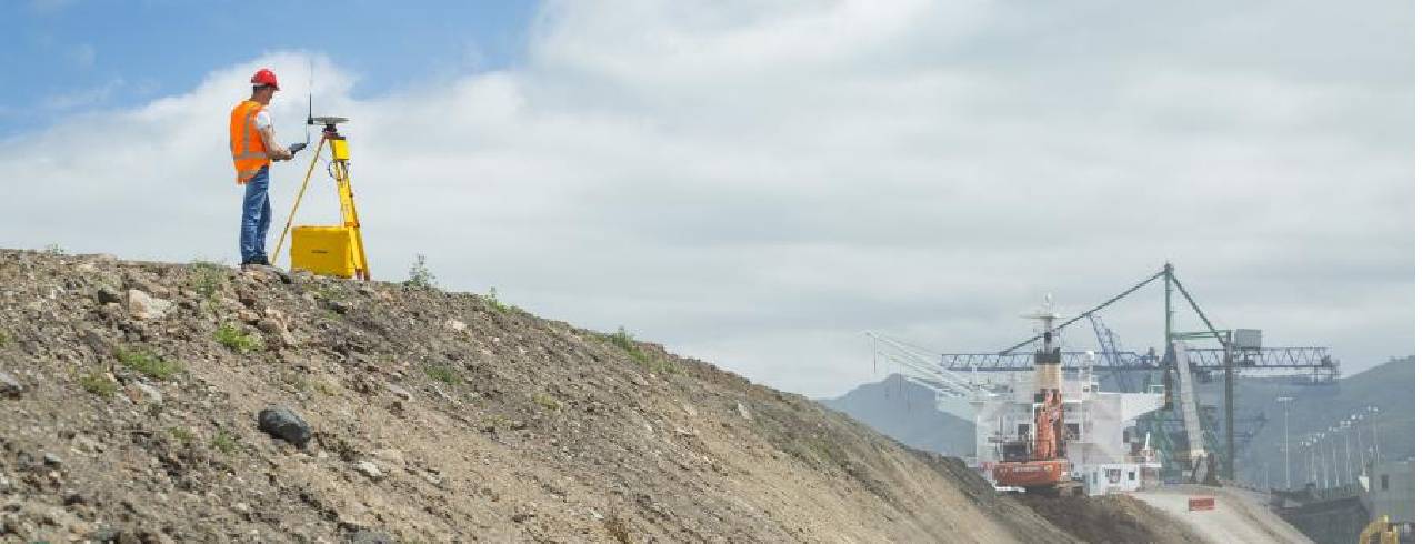
GNSS base stations are widely used in land surveying and mapping applications to establish accurate reference points and control networks. Surveyors use these stations to determine precise coordinates for various features on the Earth's surface.
In construction and engineering projects, GNSS base stations help monitor and control the positioning of heavy machinery, ensuring accurate grading, excavation, and alignment of structures.
GNSS technology is utilized in precision agriculture for tasks such as planting, fertilizing, and spraying crops. Base stations aid in creating accurate field boundaries and guiding agricultural machinery.
GNSS base stations contribute to geodetic research and measurements, helping to monitor tectonic plate movements, crustal deformations, and Earth's rotational variations.
GNSS base stations are integral to the functioning of air traffic management systems. They assist in precise aircraft navigation, especially during takeoff, landing, and en-route phases.
In maritime applications, GNSS base stations support accurate navigation for ships, boats, and other watercraft. They also aid in the monitoring of tides, currents, and coastal changes.
GNSS base stations are crucial for location-based services in transportation systems, enabling vehicle tracking, navigation, and routing in sectors such as logistics, public transportation, and ride-sharing.
GNSS base stations play a role in resource exploration industries, assisting in mapping and locating resources like minerals, oil, and gas.
GNSS technology is used in emergency response operations to locate and rescue individuals in distress, such as hikers, climbers, and boaters.
Researchers use GNSS base stations to study various phenomena, including atmospheric and ionospheric interactions, space weather, and climate change.
GNSS base stations are employed to monitor the movement and stability of structures such as bridges, dams, and buildings, providing early warning of potential structural issues.
During natural disasters, GNSS base stations assist in coordinating emergency response efforts and assessing the impact of events like earthquakes, floods, and tsunamis.
In all these applications, GNSS base stations work in conjunction with satellite constellations like GPS (Global Positioning System), GLONASS (Global Navigation Satellite System), Galileo, and BeiDou to provide accurate positioning information. They are essential for achieving precise and reliable location data, contributing to improved efficiency, safety, and decision-making in various industries.
GX20-CORS GNSS All-Constellation Multi-Frequency High-Precision Base Station is equipped with cutting-edge technology, supporting simultaneous multi-constellation positioning on a high-precision board, along with high-precision multi-feed stacked antennas, providing centimeter-level carrier phase observations.
The host integrates Bluetooth and 4G communication module for network communication, supporting communication protocols such as NTRIP and TCP/IP, allowing the transmission of raw observation data and real-time differential data through network interfaces.
The product features a robust aluminum alloy casing and a sealed rubber ring design, providing excellent resistance to impact and vibration. It is IP67 certified, meeting the requirements for high-precision long-term operations.
To learn more GNSS module product information, please check this page.